Obstructions
Using the Check for Obstructions Tool
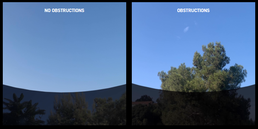
If your Starlink will not be the tallest object in sight at the install location (most cases), download the Starlink app to Check for obstructions (trees, poles, etc.) that might interrupt your service.

- On the home page of the Starlink App, you'll see a button that says "FIND AN INSTALL LOCATION" which will open the obstructions tool.
- Once you're in the obstructions tool, follow the on-screen steps to scan the sky for obstructions at your install location:
- Select your Starlink hardware. This is needed to ensure the app is scanning the sky for the proper field of view.
- Be sure to place the phone at the exact location and height of your planned dish mounting location.
FAQs
Using the Obstructions map
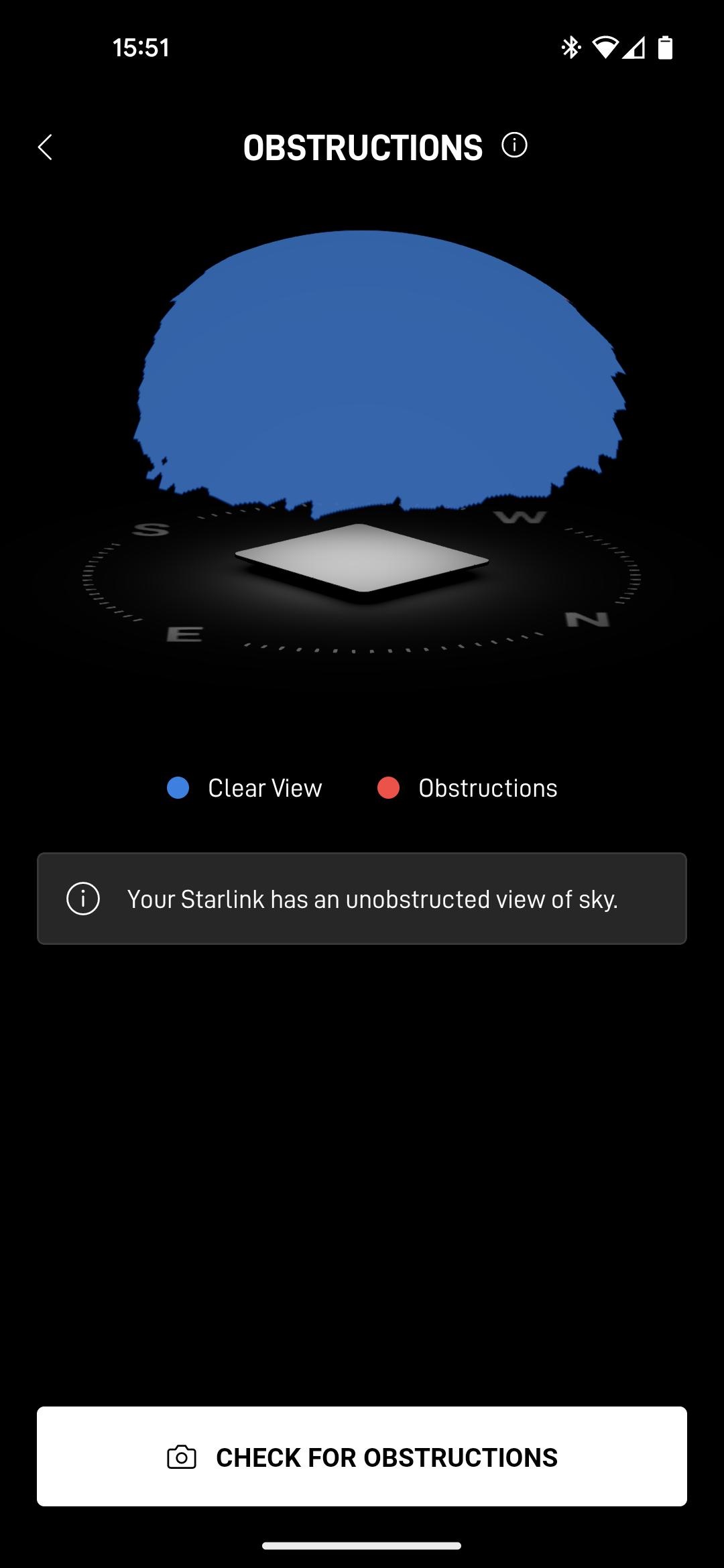
After the Starlink has been online for a while, the dish will register any blockages that obstruct its own view of the sky, and it will generate a map that can be viewed in the app. It can take up to 12 hours to generate a complete obstruction map. This is different from the map you made in the earlier step, as this is based on where in the sky the Starlink has been able to successfully connect to a satellite.
- On the main menu of the app, click on the "OBSTRUCTIONS" item.
- On the subsequent screen, see any obstructions in the dish's view of the sky.
- If the view is highly obstructed, we recommend mounting the dish in a location with a clearer view of the sky.
How should I interpret the obstruction map?

Updated about 1 month ago
